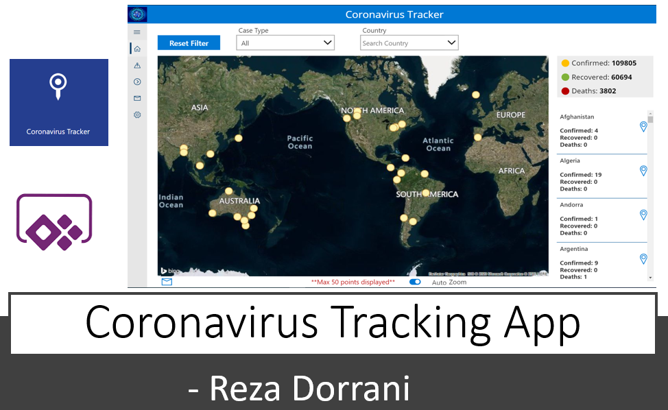
The Coronavirus Tracking application tracks the spread of COVID-19 cases globally
The Main App features include:
1) Track the COVID-19 cases worldwide on a Map. Filter data points by Case Type, Country or Region
2) Track COVID-19 cases around your Location (tracking) or a specified location
3) Send notifications (email) based on filtered data points with map attached
4) Chat Bot to answer common questions around COVID-19
5) Configurable Map Types and Locations
Coronavirus Tracking application Overview
Coronavirus Tracking application Overview
Coronavirus Tracking application Setup
Coronavirus Tracking application Setup
The Coronavirus Tracking application leverages data from the feature layer in arcgis by CSSE_GISandData
Web service:
https://www.arcgis.com/home/item.html?id=bbb2e4f589ba40d692fab712ae37b9ac
Service Layer:
https://services1.arcgis.com/0MSEUqKaxRlEPj5g/arcgis/rest/services/Coronavirus_2019_nCoV_Cases/Featu…
This App can be used along with the Crisis communication template released by Microsoft :
https://powerapps.microsoft.com/en-us/blog/crisis-communication-a-power-platform-template/


